Geospatial Data from the Map Cabinet: Digitizing British Columbia's Mid-Century Forest Cover
UBC Library | Research Commons | Rare Books and Special Collections
Outline
- Introduce the maps
- Project origins
- The collections
- Scanning & metadata
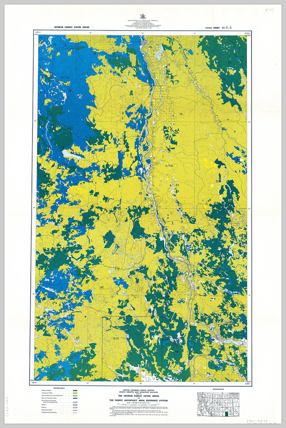
- Index map
- Georeferencing
- In the classroom
Project Origins
- UBC Faculty of Forestry
- UBC Library Forestry Faculty Liason
- UBC GIS Librarian
- UBC Rare Books and Special Collections
- UBC Digitization Centre
Project Timeline
- Project start date
- May 2019
- Project end date
- December 2019
Creative Solutions
- Funding
- Student employment
- Crowdsourcing
Working with physical collection
- Unique identifier fun
- Multiple holdings and digitization requirements
- Metadata creation
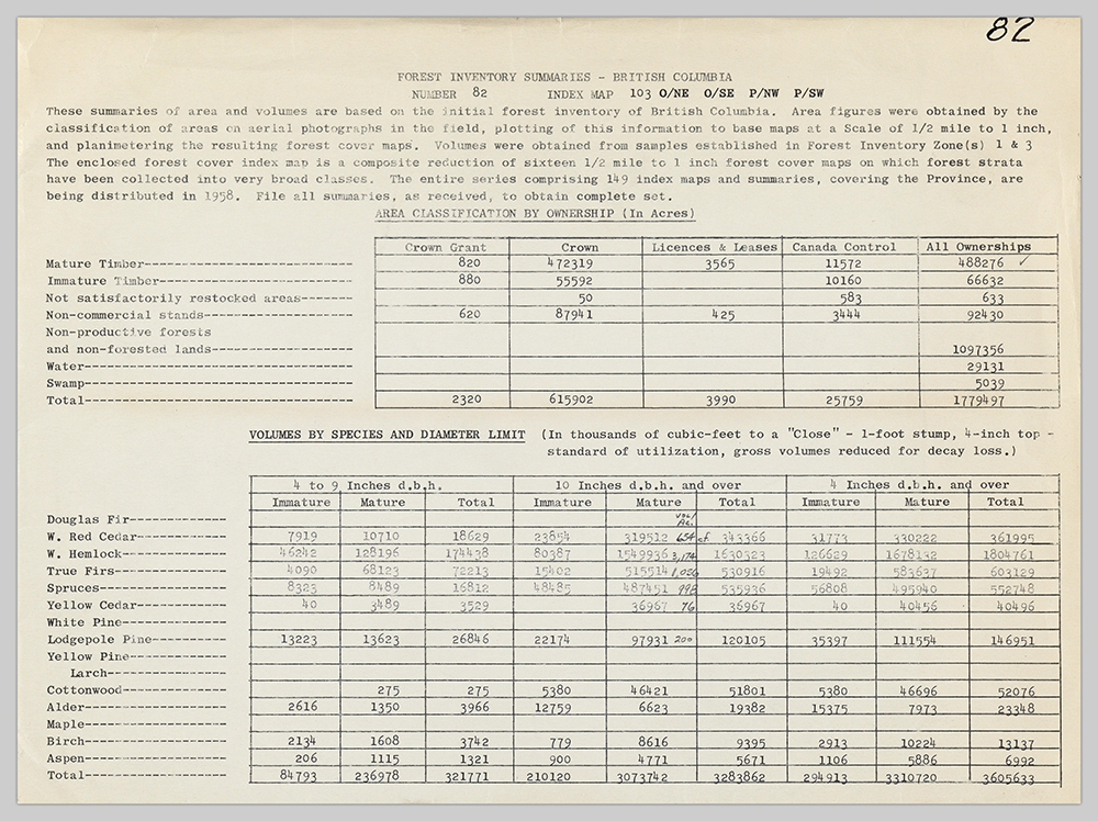
Metadata
- Work completed by UBC iSchool student Frances Chen
- Used existing catalogue records (MARC)
- Created new metadata records (DublinCore)
DublinCore ⇨ OpenIndexMap
- Map appropriate metadata fields
- Create index grid in GIS
- Joined the metadata table to GIS file
Georeference
first step in transforming images into geographic data
Georeferencing party
- In Library's lab
- Volunteers worked from shared drive
- Georeferenced images and info were uploaded to cloud
- Completed 149 maps in < 2 months
We scanned and have made openly available an entire forest cover map series for BC! Shows the extent of mature forests across the province in 1957! https://t.co/Y6PlNsUdrx
— Vancouvers Big Trees (@VanBigTrees) January 21, 2020
Next is to rasterize these maps and analyze the changes. With @clairielll @thornberry_evan @DigitizeUBC pic.twitter.com/I0qyrJ1G97
Bringing the maps into the Classroom
- Rich resource for teaching and learning
- Example of potential of working with historic materials and using historic data
Special Thanks:
Ira Sutherland, Kevin Hu, Frances Chen, Rob Stibravy, Dr. Jeanine Rhemtulla, Larissa Ringham, Laura Ferris, Eirian Vining, Sally Taylor, Peter James